
 Italiano
 Deutsch
2022/08/31 00:47:21
Rifugio Fallere e punta Leysser
Author
Place
Italy - Valle d'Aosta, AO
Km
21,35 km
Elapsed time
04:59:45
Vertical meters
+1 334 mt (1722 - 2728)
Route difficulty
Landscapes
Last update
2023/01/03 16:50:55
Comments
Description
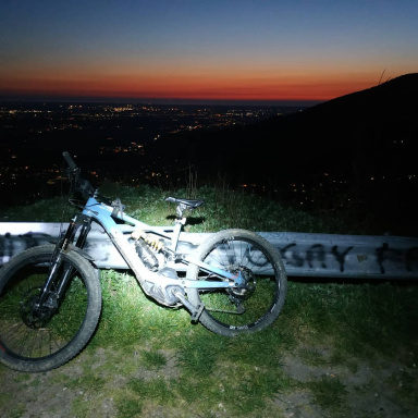
Beautiful cyclo-mountaineering tour with some amazing ridges
Uphill on pedalable forestry to the hut, then singletrack in parts pedalable and rest walk, utlimlims 20 meters on shoulders on cable but no big problems, then top ridges and top cool alpine trail, then final on forest in pine needles to the car
Graph
Nearest Routes
21,55 km
Km
+630 mt
Vertical meters
Route difficulty
Landscapes
7,83 km
Km
+23 mt
Vertical meters
Route difficulty
Landscapes
55,04 km
Km
+2 888 mt
Vertical meters
Route difficulty
Landscapes
33,33 km
Km
+1 880 mt
Vertical meters
Route difficulty
Landscapes
2022/09/30
- Italy - Valle d'Aosta, AO 28,02 km
Km
+1 315 mt
Vertical meters
Route difficulty
Landscapes
7,95 km
Km
+141 mt
Vertical meters
Route difficulty
Landscapes
19,82 km
Km
+1 030 mt
Vertical meters
Route difficulty
Landscapes
2023/06/11
- Italy - Valle d'Aosta, AO 35,44 km
Km
+1 900 mt
Vertical meters
Route difficulty
Landscapes
23,16 km
Km
+742 mt
Vertical meters
Route difficulty
Landscapes
14,66 km
Km
+693 mt
Vertical meters
Route difficulty
Landscapes