Italiano
 Deutsch
Colle di Gilba and Colle del Prete - Malaura Pass - Monte Ricordone

Park the car at the end of Melle, right side of the road. After one and a half km, after the gas station and near the Roggero farm, on the right begins the ascent to nine hamlets and 2 churches. After about 2 1/2 km you reach the Church of Sant'Anna and the dirt road begins, at km 7.5 you cross the dirt road of Madonna della Betulla (see route 66) and you reach San Bernardo delle Sottole from which dirt road on a false level and descent to asphalt. And then cross the Gilba stream to climb to Borgata Lantermini and Colle di Gilba 1,524 m at km 15.
A marked dirt road leads in 3 km to the Colle del Prete 1,716 m. A short portage leads us to the summit trail that with short ups and downs reaches Malaura Pass 1,646 m. Mount Ricordone 1,764 m. features an aerial, a short descent leads to the most representative cross in memory of the victims of the 1885 avalanche, 71 who died that January with 2 meters of snow that dumped from Mount Ricordone on the hamlets below.
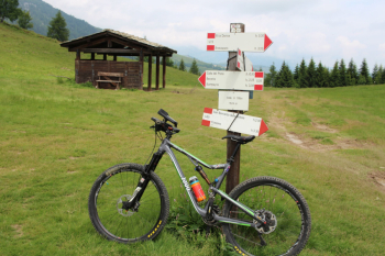
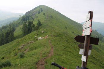
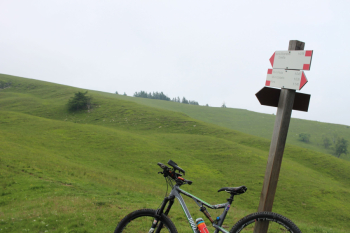
The first part of the descent on grassland is not well defined; it is convenient to take as a reference a signpost placed about 100 meters below. The trail starts again from a saddle and arrives at a fork, sign on the right towards the Meira Paula Refuge and the additional mtb sign.
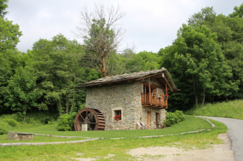
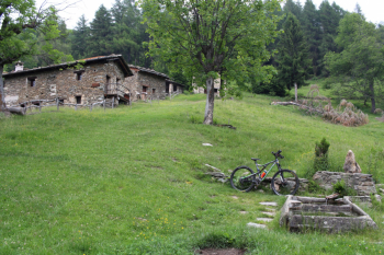
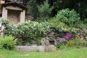
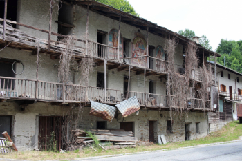
I opt for the path to the left, a short section with scree, but the view of the Meire Culet hamlet is worth the effort. We still proceed through the forest with stretches of foliage until Borgata Chiaronto. In its heyday in the late 1800s and early 1900s it had more than 30 families and, as a rural economy, mainly chestnut. Houses often had drying rooms and balconies to preserve and store the precious fruit. In the center of the village was the fountain-washhouse and the votive pillar: from this point the streets arranged in a radial pattern branched off. Still worth mentioning is the climbing gym with more than 40 routes, from 5th to 8th grade and a rocky ledge above that allows climbing even on rainy days.
Finally, with a few cuts of the road, you reach Borgata centrale and then on asphalt you pass Frassino and return to Melle.