Italiano
 Deutsch
Fort de Lenlon - Val Clarée - anello

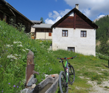
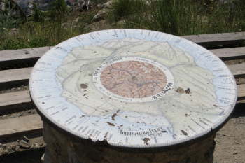
Depart near La Vachette (1,356 m.); walk a few hundred meters on asphalt to deviate to the right, crossing the Clarée stream, on a short dirt road to Les Alberts. Leaving the village, follow an excellent flat bike path through meadows/woods in the direction of Val des Prês and La Draye. Once in the latter town, cross the Clarée again to take a tarmac section that climbs with a slight incline inside the upper Val Clarée, a road that will be abandoned shortly afterwards (1,415m.) to deviate onto a dirt road that with two switchbacks leads in the direction of Granon. At this point begins a long stretch of military road that climbs up the valley of the Granon stream on excellent ground and with significant gradients, until it reaches the village of Granon (1,925m) (water point). The road continues to a junction where, ascending the wide military road, you reach Fort de Lenlon (2,509 m.) with a view of the Upper Clarée Valley and the surrounding hills, also catching a glimpse of the summit of Mt. Chaberton and Janus.
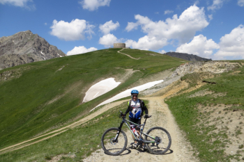
From the fort, backtrack to the junction and join the traverse for the last 4 km of very modest ascent to Col du Granon, (2,413 m.)(small refreshment point).
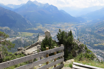
Immediately past the pass, a dirt road begins on the left with dolomite-like terrain that later turns into a forest path towards Serre Lan (1,847 m.)(second water point) where you reach the end of an enjoyable descent through woods. From here, after an ascent of about 1.3 km you reach Croix de Toulouse (1,963 m.), a panoramic point over Briançon and the Guisane valley. Here begins the last section of trail in the forest that leads back to La Vachette.
Cartography: FRATERNALI N°21 Briancon, Vallée de la Guisane, Vallée de la Clarée SCALE 1:25000