
 Italiano
 Deutsch
Canto alto Dh x5 esagerate!
One of my favorite rides, just a stone's throw from home, with a nice climb and 5 nice technical super descents. 1300 of elevation gain which may seem few but they are nice tough to climb, with supersatisfaction. The climb from Sedrina takes about 90minutes (ebike). From Canto alto to the end of the last descent about 120minutes.
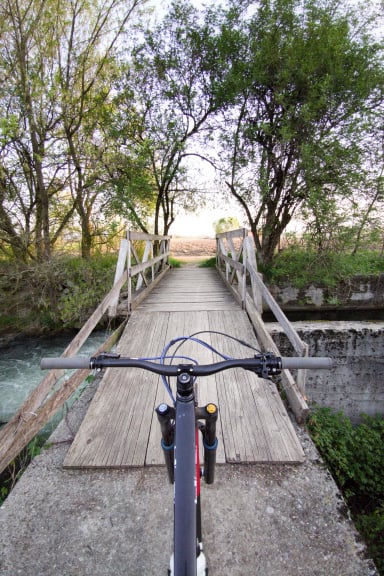
Going along the former railway you arrive in Sedrina where after a few meters starts a beautiful trail in the woods with nice challenging climbs passing by the Parini meadows and then arriving under the Canto alto, last 100meters pedalable with e-bike and a lot of technique, last 30meters pushing until the cross (the same climb is also a nice flow and fast descent).
Following the track begins a beautiful descent almost all technical S3 with S4 passages worth to be studied but doable practically all in the saddle on nice firm rock, turn left to avoid the impossible steps of the classic climb, and after some hairpin bends and a few meters in the midslope you come out on a flat path (hut area).
Here if you want to hurt yourself you can try to go straight to take some nice steps https://training.camp/it/route/689/canto-alto-canto-basso-ver-impossible/ or follow the present trail .
You turn right and after 20meters nice technical you keep the left path with some very interesting steps. The last part of this first descent is in a beautiful rockgarden, where I recommend you always keep right, arrived at a gully too narrow for bikes take the parallel track a few meters above that comes out just after the gully.
Arrived at Canto basso go down to the Martesana from a descent with flow and technical S2/S3 sections that ends at the Smile Fork. Descending you take the Catene trail, a nice rocky stepped S3 trail.
Here begins a fun link in midslope that allows you to reach the Pisgiú from which you can reach first the Galagu descent and then the PS3 Dh Easy or hard degree of difficulty S3
Very physical and technical tour almost all off-road Duration of the whole tour about 4h with emtb and 5.5h with mtb.