Italiano
 Deutsch
Forte Janus - Forte Gondrand - lago Gignoux

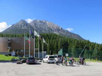
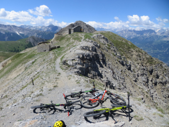
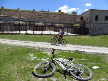
Itinerary on the Italian-French border with departure from Montgenevre. After an initial steep climb overlooking the winter facilities, cross the Durance and continue by dirt road to Lac des Ages, avoiding the branches after the observatoire. From the lake the dirt road resumes climbing to the right to a ridge between Fort Gondran and Janus and turns right again toward the latter. The first fortification at elevation 2529 m is the two-story blockaus built between 1886 and 1889, and damaged during World War II, while the underground part is from the early 1900s. On the end at elevation 2543 m, M. Janus opposite Chaberton, there is a blockaus with three types of fixed armored turrets, GFM (Cloche Guet - Fusil Mitrailleur ) nicked by a shot from Chaberton, VDP (Cloche Vue Directe et Périscopique), JM (Cloche Jumelage de Mitrailleuses).
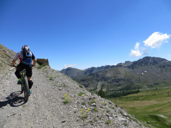
You descend again to the col below with splendid views from above over Montgenevre, la Vachette and Briancon. Then continue right to the Gondran Fort at an altitude of 2459 m with a gate and behind metal plates with loopholes protecting the underground entrances. There is also a wooden bridge accessing the garrisons and a terrace above where batteries were placed.
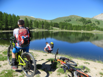
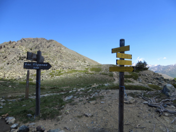
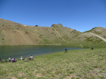
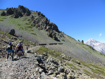
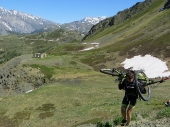
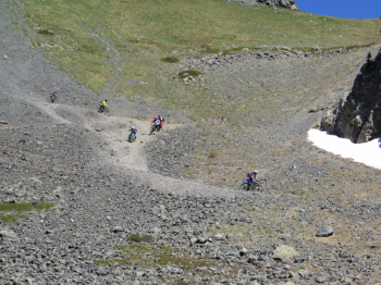
At an elevation of 2305 there is a crossroads, left back to Lac des Anges and Montgenevre, right to Cervieres, in the center continue to Lake Gignoux about 4 km away. Here snack and philosophical stop to regenerate for the last efforts, i.e. the steep ramp after the lake and a short portage section before the Tangerine Valley. Begin a descent on scree to then connect to the Montgenèvre bike park and return to the starting point. Tour done with bikexplorers.
Fraternali publisher no. 1 - Upper Susa Valley Trail map (1:25,000)